OpenEarth Academy
Join the OpenEarth Academy. Code for the Environment
Code for the environment. Create an impact on conservation initiatives near you. Achieve climate joy. Next cohort starts August 4th.
Explore Effective Strategies and Take Action
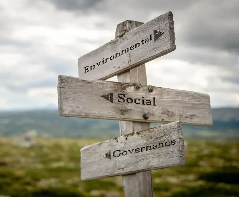
Align with Sustainability
Build a knowledge foundation for nature-based solutions, carbon sequestration, and supply chain efficiency with activities that put theory into practice.
Measure Your Climate Impact
Learn how your support for conservation efforts to enhance carbon sequestration and clean water restoration creates measurable impact.
Engage Your Green Team
Are you part of a Green Team? Shape the future through volunteering opportunities where members use their skills to make a difference.
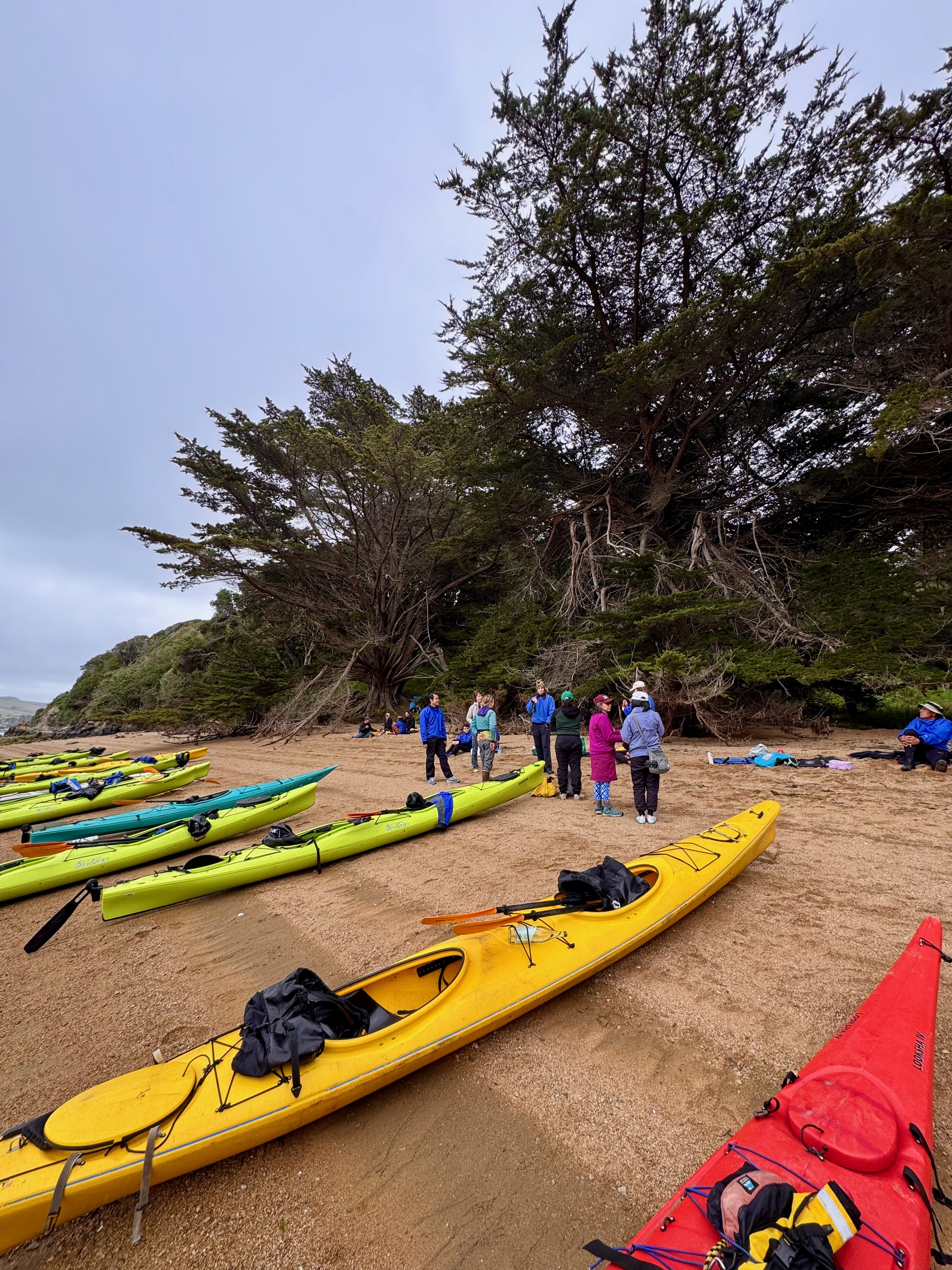
Connect with the Outdoors
Experience the joy of conservation by paddling, foraging, and more at events hosted by our 120+ local, Indigenous environmental partners.
Accelerate Reforestation
Get hands-on by contributing to open source GIS tools that monitor water and soil data to accelerate ecosystem restoration in forests, rivers, and lakes.
Build for the Environment
Support community-trusted climate intelligence. Our AI model uses field sensor data to monitor biodiversity and optimize conservation decisions for our environmental partners.
Deep Dive into Climate Tech
OpenEarth Academy is developed by tech workers who care deeply about sustainability and using technical skills to empower the work of researchers, scientists, and local communities who are at the frontlines of conservation in the United States, India, Colombia, Indonesia, and Brasil.
Nature-Based Supply Chain
How do regenerative nature practices connect to business cases?
Business goals can be met through sustainable strategies. Our academy presents case studies where collaborating with local communities to implement regenerative practices leads to generating impact, value, and positive change.
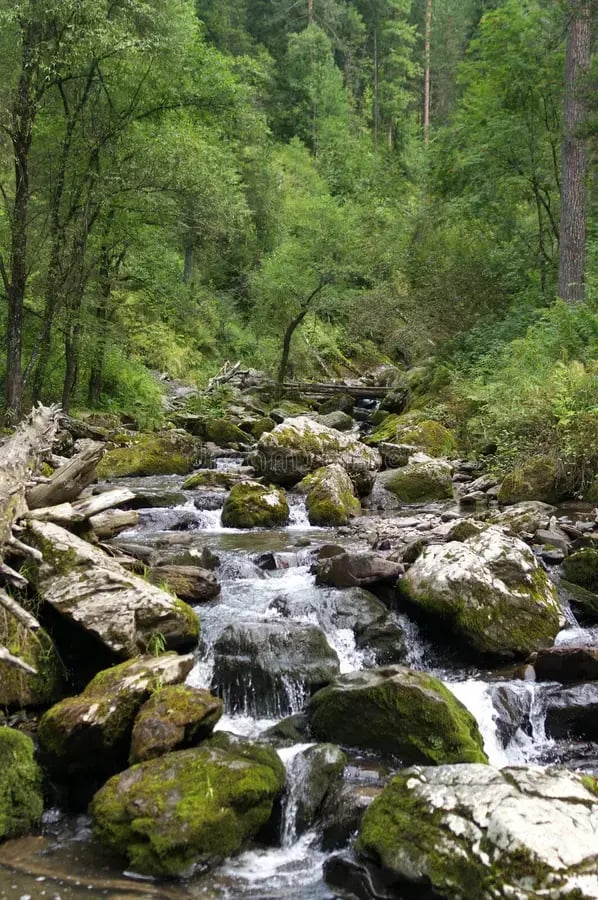
Reforestation and Water
Why is reforestation the key to water restoration and carbon sequestration goals?
Learn how technical and environmental skills can create tech tools for conservation efforts—helping conserve millions of acres and meet restoration goals through scalable, open-source projects.

Community-Based Projects
What can we learn from Indigenous-led ecosystem management?
Our academy shares how Indigenous partners have managed climate resilience using traditional knowledge—and how it's evolving in the age of AI.
Join OpenEarth Academy for $50
What are the benefits?
- 🎓Gain new knowledge and skills through our self-guided curriculum that covers in-depth climate tech topics.
- 🧑💻Get access to remote mentor opportunities with climate technologists across 14 countries.
- 🌱Receive invites to local nature event opportunities like group hikes, paddles, and restoration activities led by Indigenous communities.
- 💡Support 120+ Indigenous organizations: Your support for OpenEarth Academy makes the development and implementation of climate technology accessible for 120+ Indigenous environmental groups.
- 🤝Make an impact with our growing community of environmental partners, industry collaborations, and passionate volunteers.

20
Million Liters of Water Conserved

126
Environmental Partners

22
Industry Partners

524
Volunteers
OpenEarth Academy Supports Climate Tech Development
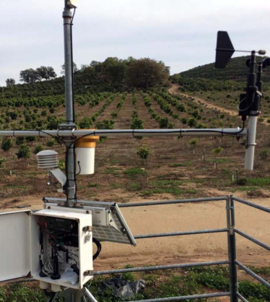
ENVIRONMENTAL MONITORING
Using smart sensors to monitor progress towards successful reforestation
Smart environmental monitoring uses sensors and AI-powered analysis to track soil moisture, air temperature, and weather patterns, which are key factors in successful reforestation.
Smart hardware devices collect real-time data on microclimate conditions. In the Southwest, these devices monitor arid soils and time planting around rare rainfall events. In Virginia, it tracks soil saturation and runoff for floodplain reforestation. By combining this data with open-source historical geospatial data, land managers are able to see a clear, continuous picture of site conditions and accurately monitor reforestation efforts.